Combining Data and Fire Science to Inform Wildfire Risk Management
Applying Fire Protection Engineering to Wildfire Risk
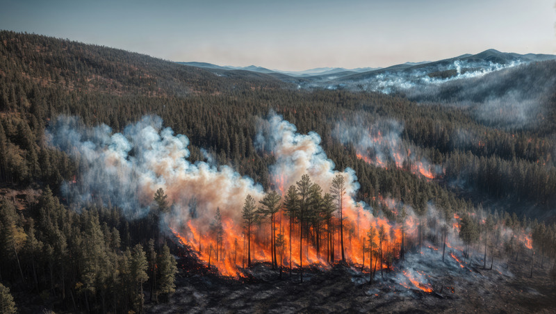
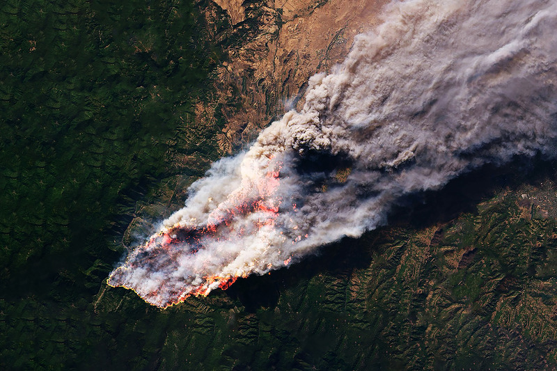
Wildfires are causing increasing destruction to the built environment, leading to injuries and loss of life, and devastating sensitive ecosystems. Although wildland fire can be beneficial and is required for the health of many natural environments, climate change and urban sprawl continue to exacerbate the global risk of high-severity, high-consequence fires.
Accruing evidence indicates that communities in the wildland-urban interface (WUI) are under threat of exposure to fire and are frequently ill-prepared to withstand its effects. Harmful smoke emissions can reach well beyond the perimeter of the fire and impact human health, livelihood, and the environment.